VanHarten Map and Data Portal
Menu
Feedback
no-content
VH Site
no-content
Password Reset
no-content
title
Welcome to the Van Harten GIS map and data portal
Maps
Data
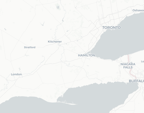
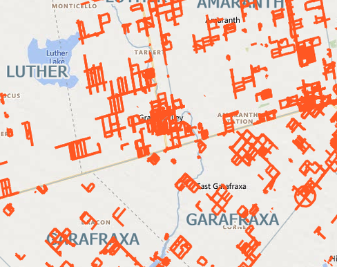
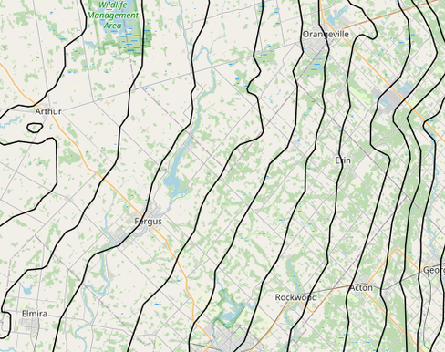
Geographic Townships & Municipalities
Municipalities are shown in redOriginal Geographic Townships are in BlackZoom in to get details and click on a particular lot/con for more details
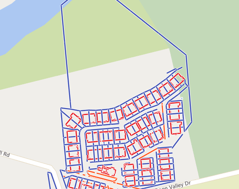
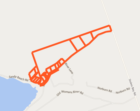
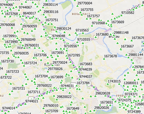
Georeferenced Surveys
Surveys that we have done since we started using GPS. Zoom in to see more, or type an address into the search tool.
MILL STREET CONDO
FOR TREE LOCATION SURVEY
MYLES BAYSHORE ROAD
Approximate boundary lines
UTM Zone 17 Combined Scale Factors
Waterloo Region Survey Control Points
Various Benchmarks across Ontario
Geographic Townships & Municipalities
Geographic Townships & Municipalities
Municipalities are shown in redOriginal Geographic Townships are in BlackZoom in to get details and click on a particular lot/con for more details
Georeferenced Surveys
Georeferenced Surveys
Surveys that we have done since we started using GPS. Zoom in to see more, or type an address into the search tool.
MILL STREET CONDO
MILL STREET CONDO
FOR TREE LOCATION SURVEY
MYLES BAYSHORE ROAD
MYLES BAYSHORE ROAD
Approximate boundary lines
UTM Zone 17 Combined Scale Factors
UTM Zone 17 Combined Scale Factors
Waterloo Region Survey Control Points
Waterloo Region Survey Control Points
Various Benchmarks across Ontario